
Merzi topographic map
Interactive map
Click on the map to display elevation.
About this map
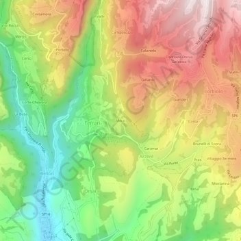
Name: Merzi topographic map, elevation, terrain.
Location: Merzi, VR, Veneto, 37021, Italy (45.57491 10.98870 45.61491 11.02870)
Average elevation: 2,208 ft
Minimum elevation: 1,020 ft
Maximum elevation: 3,478 ft