
شاري Chari topographic map
Interactive map
Click on the map to display elevation.
About this map
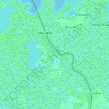
Name: شاري Chari topographic map, elevation, terrain.
Location: شاري Chari, Darak, Logone-et-Chari, Far-North, Cameroon (12.90029 14.51195 12.97417 14.56476)
Average elevation: 925 ft
Minimum elevation: 915 ft
Maximum elevation: 942 ft