
Alcántara topographic map
Interactive map
Click on the map to display elevation.
About this map
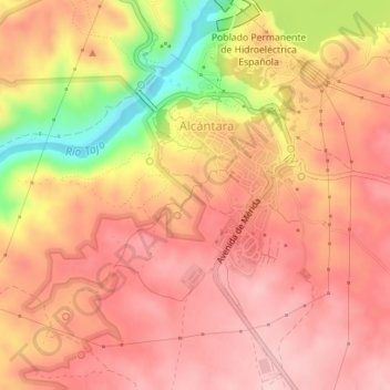
Name: Alcántara topographic map, elevation, terrain.
Location: Alcántara, Cáceres, Extremadura, 10980, Spain (39.70993 -6.88984 39.72177 -6.87919)
Average elevation: 787 ft
Minimum elevation: 367 ft
Maximum elevation: 974 ft