
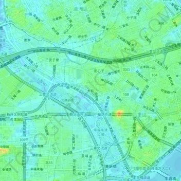
博愛里 topographic map
Interactive map
Click on the map to display elevation.
About this map
Name: 博愛里 topographic map, elevation, terrain.
Location: 博愛里, Dayou, Sanchong District, New Taipei, 24872, TW (25.04673 121.45613 25.08673 121.49613)
Average elevation: 30 ft
Minimum elevation: -10 ft
Maximum elevation: 105 ft