
Glenn Heights topographic map
Interactive map
Click on the map to display elevation.
About this map
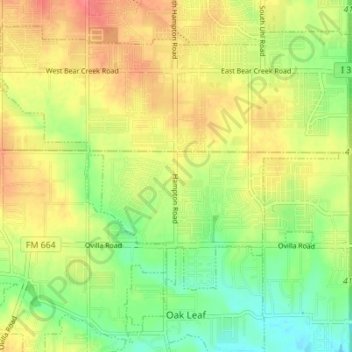
Name: Glenn Heights topographic map, elevation, terrain.
Location: Glenn Heights, Dallas County, Texas, USA (32.51840 -96.89112 32.56809 -96.82212)
Average elevation: 653 ft
Minimum elevation: 551 ft
Maximum elevation: 751 ft