
Khotwadi topographic map
Interactive map
Click on the map to display elevation.
About this map
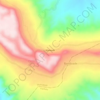
Name: Khotwadi topographic map, elevation, terrain.
Location: Khotwadi, Shahuwadi, Kolhapur, Maharashtra, India (16.80217 73.98263 16.84217 74.02263)
Average elevation: 2,638 ft
Minimum elevation: 1,949 ft
Maximum elevation: 3,235 ft