
El Bayadh topographic map
Interactive map
Click on the map to display elevation.
About this map
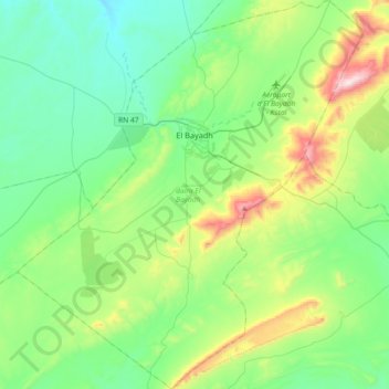
Name: El Bayadh topographic map, elevation, terrain.
Location: El Bayadh, El Bayadh District, El Bayadh, Algeria (33.48621 0.85259 33.78887 1.17673)
Average elevation: 4,537 ft
Minimum elevation: 3,865 ft
Maximum elevation: 6,598 ft