
Münchberg topographic map
Interactive map
Click on the map to display elevation.
About this map
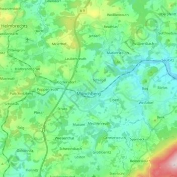
Name: Münchberg topographic map, elevation, terrain.
Location: Münchberg, Landkreis Hof, Bavaria, 95213, Germany (50.14760 11.66835 50.24113 11.84717)
Average elevation: 1,906 ft
Minimum elevation: 1,650 ft
Maximum elevation: 2,785 ft