
Saarlouis topographic map
Interactive map
Click on the map to display elevation.
About this map
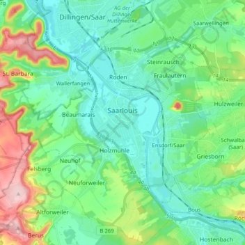
Name: Saarlouis topographic map, elevation, terrain.
Location: Saarlouis, Landkreis Saarlouis, Saarland, 66740, Germany (49.26028 6.67515 49.36206 6.81568)
Average elevation: 728 ft
Minimum elevation: 554 ft
Maximum elevation: 1,240 ft