
Gerlamoos topographic map
Interactive map
Click on the map to display elevation.
About this map
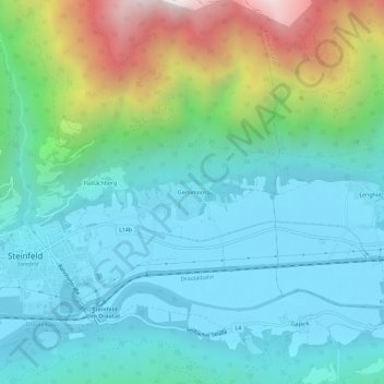
Name: Gerlamoos topographic map, elevation, terrain.
Location: Gerlamoos, Spittal an der Drau, Kärnten, 9754, Österreich (46.74411 13.25307 46.78411 13.29307)
Average elevation: 3,028 ft
Minimum elevation: 1,870 ft
Maximum elevation: 6,808 ft