
Russai topographic map
Interactive map
Click on the map to display elevation.
About this map
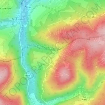
Name: Russai topographic map, elevation, terrain.
Location: Russai, Lierneux, Verviers, Liège, Wallonia, 4990, Belgium (50.35006 5.72632 50.37006 5.74632)
Average elevation: 1,168 ft
Minimum elevation: 814 ft
Maximum elevation: 1,526 ft