
Sambat topographic map
Interactive map
Click on the map to display elevation.
About this map
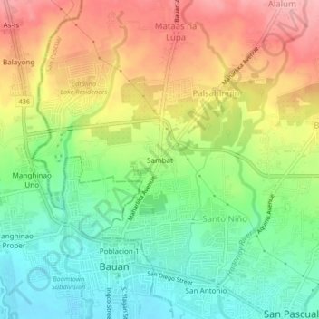
Name: Sambat topographic map, elevation, terrain.
Location: Sambat, Batangas, Calabarzon, 4204, Philippines (13.78375 120.99325 13.82375 121.03325)
Average elevation: 197 ft
Minimum elevation: 7 ft
Maximum elevation: 427 ft