
Velneshwar topographic map
Interactive map
Click on the map to display elevation.
About this map
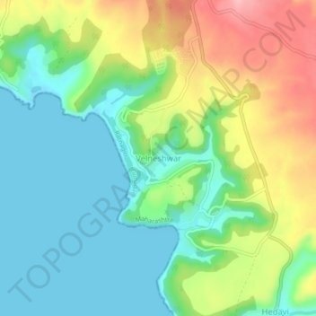
Name: Velneshwar topographic map, elevation, terrain.
Location: Velneshwar, Ratnagiri, Maharashtra, India (17.35949 73.19402 17.39949 73.23402)
Average elevation: 167 ft
Minimum elevation: -3 ft
Maximum elevation: 479 ft