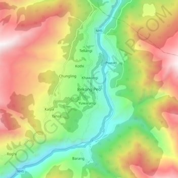
Rekong Peo topographic map
Interactive map
Click on the map to display elevation.
About this map
Name: Rekong Peo topographic map, elevation, terrain.
Average elevation: 9,350 ft
Minimum elevation: 6,017 ft
Maximum elevation: 13,593 ft

Click on the map to display elevation.
Name: Rekong Peo topographic map, elevation, terrain.
Average elevation: 9,350 ft
Minimum elevation: 6,017 ft
Maximum elevation: 13,593 ft