
Aesan-ri topographic map
Interactive map
Click on the map to display elevation.
About this map
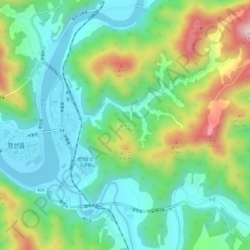
Name: Aesan-ri topographic map, elevation, terrain.
Location: Aesan-ri, Jeongseon-gun, Gangwon-do, 26122, South Korea (37.36276 128.66375 37.40276 128.70375)
Average elevation: 1,473 ft
Minimum elevation: 988 ft
Maximum elevation: 2,556 ft