
Sherbrooke topographic map
Interactive map
Click on the map to display elevation.
About this map
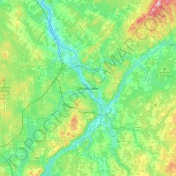
Name: Sherbrooke topographic map, elevation, terrain.
Location: Sherbrooke, Estrie, Quebec, J1H 1P1, Canada (45.24327 -72.04904 45.56327 -71.72904)
Average elevation: 817 ft
Minimum elevation: 407 ft
Maximum elevation: 2,014 ft