
Gildehaus topographic map
Interactive map
Click on the map to display elevation.
About this map
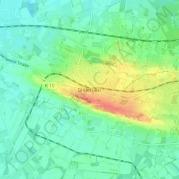
Name: Gildehaus topographic map, elevation, terrain.
Average elevation: 148 ft
Minimum elevation: 95 ft
Maximum elevation: 262 ft
Het dorp ligt op een hoogte van 49 meter boven NAP vlak over de Nederlands-Duitse grens, bij Oldenzaal. Tevens grenst het aan de Duitse deelstaat Noordrijn-Westfalen.