
Kent topographic map
Interactive map
Click on the map to display elevation.
About this map
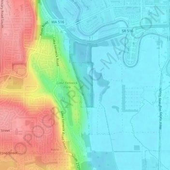
Name: Kent topographic map, elevation, terrain.
Location: Kent, King County, Washington, USA (47.36510 -122.26992 47.37219 -122.26518)
Average elevation: 154 ft
Minimum elevation: 16 ft
Maximum elevation: 453 ft