
Tahoe topographic map
Interactive map
Click on the map to display elevation.
About this map
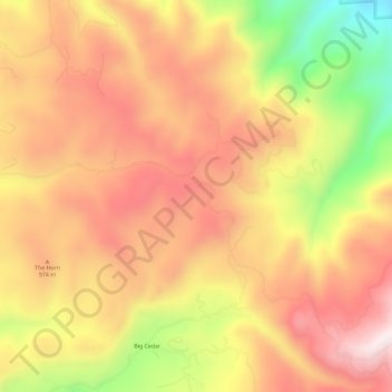
Name: Tahoe topographic map, elevation, terrain.
Location: Tahoe, Idaho County, Idaho, USA (46.07629 -115.82708 46.11629 -115.78708)
Average elevation: 2,917 ft
Minimum elevation: 1,591 ft
Maximum elevation: 3,783 ft