
Lead Mine topographic map
Interactive map
Click on the map to display elevation.
About this map
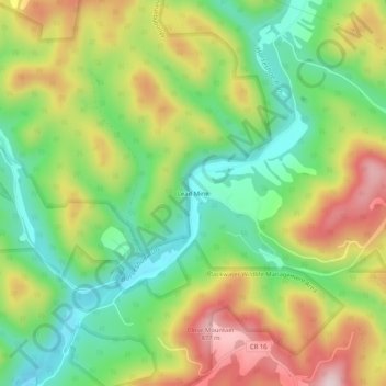
Name: Lead Mine topographic map, elevation, terrain.
Location: Lead Mine, Tucker County, West Virginia, USA (39.17464 -79.60462 39.21464 -79.56462)
Average elevation: 2,218 ft
Minimum elevation: 1,690 ft
Maximum elevation: 2,930 ft