
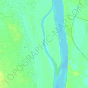
Nile topographic map
Interactive map
Click on the map to display elevation.
About this map
Name: Nile topographic map, elevation, terrain.
Location: Nile, Dongola, Northern State, Sudan (19.12542 30.48219 19.17459 30.49170)
Average elevation: 751 ft
Minimum elevation: 728 ft
Maximum elevation: 774 ft