
San Pedro topographic map
Interactive map
Click on the map to display elevation.
About this map
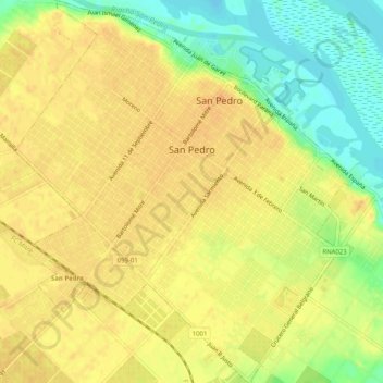
Name: San Pedro topographic map, elevation, terrain.
Location: San Pedro, Partido de San Pedro, Buenos Aires, Argentina (-33.70688 -59.68978 -33.66492 -59.64499)
Average elevation: 72 ft
Minimum elevation: -7 ft
Maximum elevation: 108 ft