
Polavaram topographic map
Interactive map
Click on the map to display elevation.
About this map
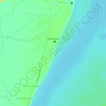
Name: Polavaram topographic map, elevation, terrain.
Location: Polavaram, West Godavari, Andhra Pradesh, 534315, India (17.22923 81.63463 17.25681 81.64978)
Average elevation: 72 ft
Minimum elevation: 39 ft
Maximum elevation: 161 ft