
San José del Valle topographic map
Interactive map
Click on the map to display elevation.
About this map
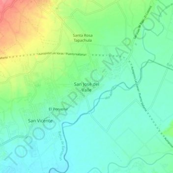
Name: San José del Valle topographic map, elevation, terrain.
Average elevation: 89 ft
Minimum elevation: 23 ft
Maximum elevation: 259 ft
Other topographic maps
Click on a map to view its topography, its elevation and its terrain.
Punta Mita
Mexico > Nayarit > Bahía de Banderas > Corral del Risco
Punta Mita, Corral del Risco, Bahía de Banderas, Nayarit, Mexico
Average elevation: 26 ft