
Ometépetl topographic map
Interactive map
Click on the map to display elevation.
About this map
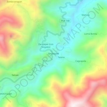
Name: Ometépetl topographic map, elevation, terrain.
Location: Ometépetl, Tetela de Ocampo, Puebla, México (19.81694 -97.74306 19.85694 -97.70306)
Average elevation: 6,847 ft
Minimum elevation: 5,650 ft
Maximum elevation: 8,832 ft