
Allanton topographic map
Interactive map
Click on the map to display elevation.
About this map
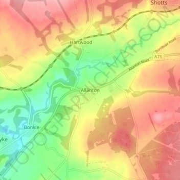
Name: Allanton topographic map, elevation, terrain.
Location: Allanton, North Lanarkshire, Scotland, ML7 5AW, United Kingdom (55.78015 -3.85458 55.82015 -3.81458)
Average elevation: 640 ft
Minimum elevation: 430 ft
Maximum elevation: 814 ft