
Casarica Island topographic map
Interactive map
Click on the map to display elevation.
About this map
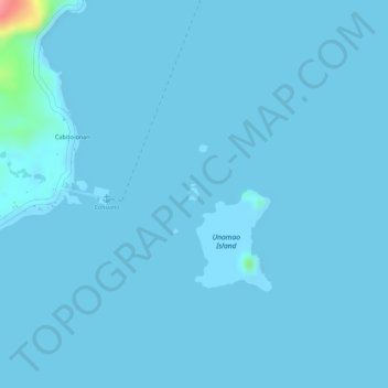
Name: Casarica Island topographic map, elevation, terrain.
Average elevation: 7 ft
Minimum elevation: -7 ft
Maximum elevation: 315 ft
Other topographic maps
Click on a map to view its topography, its elevation and its terrain.
Carrascal River
Philippines > Surigao del Sur > Carrascal
Carrascal River, Carrascal, Surigao del Sur, Caraga, 8317, Philippines
Average elevation: 463 ft