
Schloßberg topographic map
Interactive map
Click on the map to display elevation.
About this map
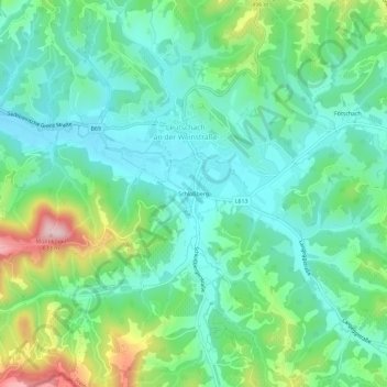
Name: Schloßberg topographic map, elevation, terrain.
Location: Schloßberg, Leibnitz, Steiermark, 8463, Österreich (46.64098 15.44943 46.68098 15.48943)
Average elevation: 1,329 ft
Minimum elevation: 1,073 ft
Maximum elevation: 2,008 ft