
Walyunga National Park topographic map
Interactive map
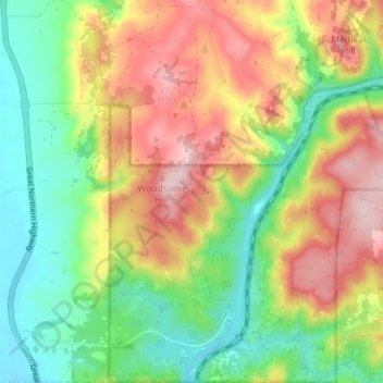
Click on the map to display elevation.
About this map
Name: Walyunga National Park topographic map, elevation, terrain.
Average elevation: 413 ft
Minimum elevation: 56 ft
Maximum elevation: 876 ft
Other topographic maps
Click on a map to view its topography, its elevation and its terrain.
Bullsbrook
Australia > Western Australia > Bullsbrook
Bullsbrook, City Of Swan, Western Australia, Australia
Average elevation: 118 ft