
Sukkar topographic map
Interactive map
Click on the map to display elevation.
About this map
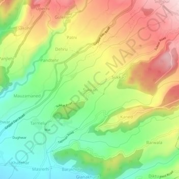
Name: Sukkar topographic map, elevation, terrain.
Location: Sukkar, Dharmsala, Kangra, Himachal Pradesh, 176209, India (32.15372 76.30942 32.19372 76.34942)
Average elevation: 3,271 ft
Minimum elevation: 2,785 ft
Maximum elevation: 3,848 ft