
Matarachi topographic map
Interactive map
Click on the map to display elevation.
About this map
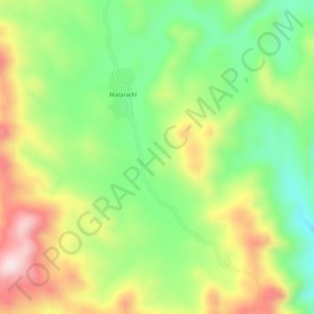
Name: Matarachi topographic map, elevation, terrain.
Location: Matarachi, Sahuaripa, Sonora, México (28.65617 -108.84283 28.69617 -108.80283)
Average elevation: 5,453 ft
Minimum elevation: 4,859 ft
Maximum elevation: 6,240 ft