
Ardooie topographic map
Interactive map
Click on the map to display elevation.
About this map
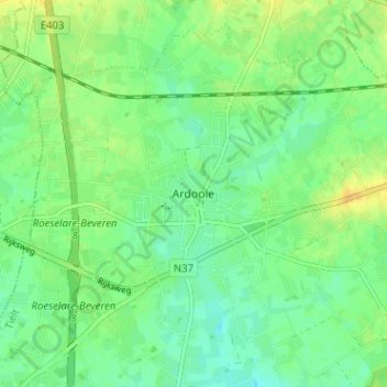
Name: Ardooie topographic map, elevation, terrain.
Location: Ardooie, Tielt, West Flanders, Flanders, 8850, Belgium (50.95979 3.17743 50.99979 3.21743)
Average elevation: 82 ft
Minimum elevation: 46 ft
Maximum elevation: 128 ft