
Ninette topographic map
Interactive map
Click on the map to display elevation.
About this map
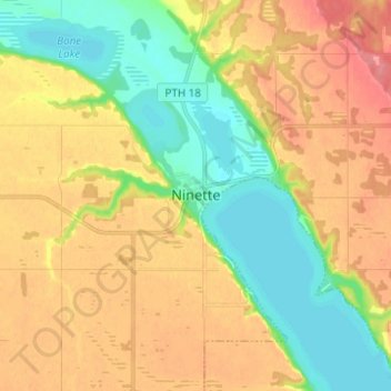
Name: Ninette topographic map, elevation, terrain.
Location: Ninette, Manitoba, R0K 1R0, Canada (49.36000 -99.67333 49.44000 -99.59333)
Average elevation: 1,460 ft
Minimum elevation: 1,342 ft
Maximum elevation: 1,588 ft