
Uzunyurt topographic map
Interactive map
Click on the map to display elevation.
About this map
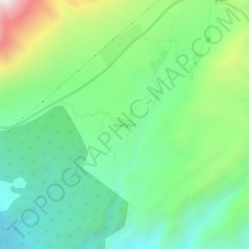
Name: Uzunyurt topographic map, elevation, terrain.
Location: Uzunyurt, Kargı, Çorum, Black Sea Region, Turkey (41.13752 34.51188 41.17752 34.55188)
Average elevation: 2,927 ft
Minimum elevation: 1,713 ft
Maximum elevation: 5,663 ft