
Prnjavor topographic map
Interactive map
Click on the map to display elevation.
About this map
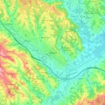
Name: Prnjavor topographic map, elevation, terrain.
Location: Prnjavor, Prnjavor municipality, Republika Srpska, B&H (44.82864 17.62318 44.90864 17.70318)
Average elevation: 591 ft
Minimum elevation: 417 ft
Maximum elevation: 915 ft