
Kareri topographic map
Interactive map
Click on the map to display elevation.
About this map
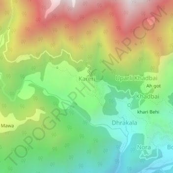
Name: Kareri topographic map, elevation, terrain.
Location: Kareri, Kangra, Himachal Pradesh, India (32.27580 76.27488 32.28213 76.28305)
Average elevation: 6,047 ft
Minimum elevation: 4,357 ft
Maximum elevation: 8,369 ft