
Lurin topographic map
Interactive map
Click on the map to display elevation.
About this map
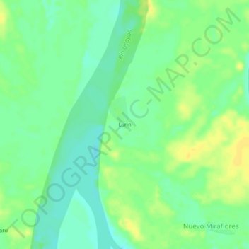
Name: Lurin topographic map, elevation, terrain.
Location: Lurin, Requena, Loreto, Peru (-5.78590 -74.35041 -5.74590 -74.31041)
Average elevation: 351 ft
Minimum elevation: 318 ft
Maximum elevation: 387 ft