
Edgartown topographic map
Interactive map
Click on the map to display elevation.
About this map
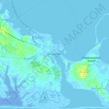
Name: Edgartown topographic map, elevation, terrain.
Location: Edgartown, Dukes County, Massachusetts, 02539, USA (41.34901 -70.55336 41.42901 -70.47336)
Average elevation: 0 ft
Minimum elevation: -69 ft
Maximum elevation: 62 ft