
Almadenes topographic map
Interactive map
Click on the map to display elevation.
About this map
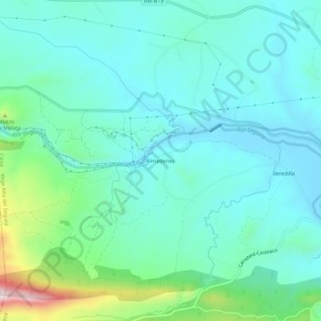
Name: Almadenes topographic map, elevation, terrain.
Location: Almadenes, Cieza, Vega Alta del Segura, España (38.21796 -1.57450 38.25796 -1.53450)
Average elevation: 889 ft
Minimum elevation: 610 ft
Maximum elevation: 2,005 ft