
Campoverde topographic map
Interactive map
Click on the map to display elevation.
About this map
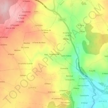
Name: Campoverde topographic map, elevation, terrain.
Location: Campoverde, Lugo, Galicia, 27438, España (42.53579 -7.65310 42.57579 -7.61310)
Average elevation: 1,768 ft
Minimum elevation: 1,322 ft
Maximum elevation: 2,139 ft