
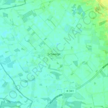
Schwege topographic map
Interactive map
Click on the map to display elevation.
About this map
Name: Schwege topographic map, elevation, terrain.
Location: Schwege, Landkreis Osnabrück, Niedersachsen, Deutschland (52.05550 7.91407 52.09550 7.95407)
Average elevation: 194 ft
Minimum elevation: 177 ft
Maximum elevation: 230 ft