
Corses topographic map
Interactive map
Click on the map to display elevation.
About this map
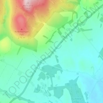
Name: Corses topographic map, elevation, terrain.
Location: Corses, Dumfries and Galloway, Écosse, DG1 3NN, Royaume-Uni (55.16296 -3.54993 55.20296 -3.50993)
Average elevation: 413 ft
Minimum elevation: 200 ft
Maximum elevation: 1,063 ft