
Laurette topographic map
Interactive map
Click on the map to display elevation.
About this map
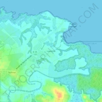
Name: Laurette topographic map, elevation, terrain.
Location: Laurette, Basse-Terre, Guadeloupe, 97129, France (16.28561 -61.66994 16.32561 -61.62994)
Average elevation: 20 ft
Minimum elevation: 0 ft
Maximum elevation: 108 ft