
Patgaon topographic map
Interactive map
Click on the map to display elevation.
About this map
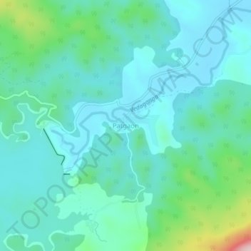
Name: Patgaon topographic map, elevation, terrain.
Location: Patgaon, Gargoti, Kolhapur, Maharashtra, India (16.10598 73.92445 16.14598 73.96445)
Average elevation: 2,116 ft
Minimum elevation: 1,946 ft
Maximum elevation: 2,848 ft