
Ingapirca topographic map
Interactive map
Click on the map to display elevation.
About this map
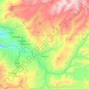
Name: Ingapirca topographic map, elevation, terrain.
Location: Ingapirca, Cañar, Ecuador (-2.61672 -78.91162 -2.41906 -78.74271)
Average elevation: 11,388 ft
Minimum elevation: 8,550 ft
Maximum elevation: 14,610 ft