Les Pennes-Mirabeau topographic map
Interactive map
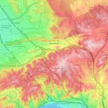
Click on the map to display elevation.
About this map
Name: Les Pennes-Mirabeau topographic map, elevation, terrain.
Average elevation: 531 ft
Minimum elevation: -3 ft
Maximum elevation: 935 ft

Click on the map to display elevation.
Name: Les Pennes-Mirabeau topographic map, elevation, terrain.
Average elevation: 531 ft
Minimum elevation: -3 ft
Maximum elevation: 935 ft