
Sheikh Zayed canal (Branch 2) topographic map
Interactive map
Click on the map to display elevation.
About this map
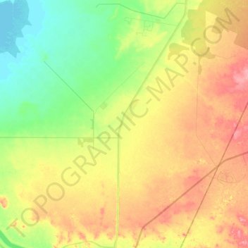
Name: Sheikh Zayed canal (Branch 2) topographic map, elevation, terrain.
Location: Sheikh Zayed canal (Branch 2), New Valley Governorate, Egypt (22.82232 31.45632 23.00923 31.51526)
Average elevation: 663 ft
Minimum elevation: 502 ft
Maximum elevation: 837 ft