
Al Qashar topographic map
Interactive map
Click on the map to display elevation.
About this map
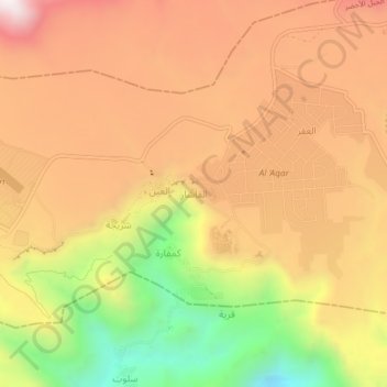
Name: Al Qashar topographic map, elevation, terrain.
Location: Al Qashar, Al Batinah South, 621, Oman (23.05242 57.64628 23.09242 57.68628)
Average elevation: 6,240 ft
Minimum elevation: 4,446 ft
Maximum elevation: 7,556 ft