
Candler topographic map
Interactive map
Click on the map to display elevation.
About this map
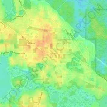
Name: Candler topographic map, elevation, terrain.
Location: Candler, Marion County, Florida, 32111, United States (29.05137 -81.98814 29.09137 -81.94814)
Average elevation: 75 ft
Minimum elevation: 16 ft
Maximum elevation: 138 ft