
Iragi topographic map
Interactive map
Click on the map to display elevation.
About this map
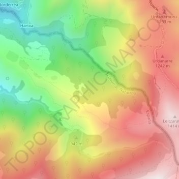
Name: Iragi topographic map, elevation, terrain.
Location: Iragi, Valcarlos, Navarra, 31660, España (43.04528 -1.29185 43.06528 -1.27185)
Average elevation: 3,225 ft
Minimum elevation: 1,598 ft
Maximum elevation: 4,682 ft